In our spring river drift logs anchoring heavy slip rigs along Missisquoi Bay clay shelves and soaking cut white perch below Vergennes Falls on Otter Creek, Lake Champlain delivers arguably the finest trophy channel catfishing anywhere in New England. While trout and landlocked salmon grab the tourism billboards across the Green Mountain State, big 12- to 25-pound channel cats and jumbo spring brown bullheads pack the turbid deltas from April ice-out right through October turnover.
We mapped eight productive boat launches and concrete shoreline points across Vermont’s Champlain Basin, Connecticut River hydro pools, and southern Taconic lakes—cross-checking 2026 Vermont Fish & Wildlife Department creel and baitfish rules so you can drop straight onto proven current structure.
Vermont Catfishing At a Glance: Top Waters & Winning Rigs
- #1 Trophy Waterway: Lake Champlain—Missisquoi Bay Delta & Lower Otter Creek (anchoring
8–30 fttributary drop-offs; Vermont state record channel cat stands at35 lb 14.7 ozfrom Lake St. Catherine) - Peak Bite Window: May–June pre-spawn tributary runs at
58°F–68°F& July–September night causeway reefs at68°F–76°F - 2026 VT F&W Bag & Size Limit: Open year-round with NO daily limit and NO minimum length on Channel Catfish & Bullhead in Lake Champlain; inland lakes place bullhead within the 50-panfish daily limit (Connecticut River boundary:
25horned pout/day) - Primary Winning Setup: Ugly Stik Catfish Special + Abu Garcia Ambassadeur C3 6500 / Penn Battle IV 5000 + 50–65 lb PE Braid + Santee Slip Rig
Best Catfish Fishing Spots in Vermont: Top 8 Waters & GPS Access Matrix
Vermont catfishing breaks cleanly into two primary fisheries: turbid Lake Champlain river deltas loaded with big, hard-fighting channel catfish (plus spring brown bullheads in shallow flooded marshes), and dammed Connecticut River & Rutland County backwaters built for sunset horned pout and stray channel cats. Use this GPS ramp table to plan around wind direction and tailwater generation.
| Lake / River Section | Primary Target Species | Key Structure / Dam Tailrace | Best Bait / Lure | Public Ramp / Bank Access |
|---|---|---|---|---|
| Lake Champlain: Missisquoi Bay (Franklin & Grand Isle Co.) |
Channel Catfish (8–25+ lb) & Spring Bullhead | Missisquoi River Delta channels, mud flats & Alburgh Passage rock riprap (8–22 ft) |
Cut white perch, frozen lake herring, nightcrawlers | Louie’s Landing F&W Ramp • 📍 Google Maps |
| Lamoille River & Sandbar Causeway (Chittenden Co.) |
Trophy Channel Catfish & Brown Bullhead | Outer delta drop-offs, US-2 causeway bridge cuts & scour holes (10–28 ft) |
Fresh cut yellow perch, chicken liver, shrimp | Sandbar State Park Ramp • 📍 Google Maps |
| Lower Otter Creek (Addison County) |
Channel Catfish (6–22 lb) & Bullhead | Vergennes Falls basin down to Fort Cassin Point clay bends (12–30 ft) |
Cut rock bass/perch, raw market shrimp, worms | Vergennes City Dock Ramp • 📍 Google Maps |
| Lower Winooski River (Chittenden County) |
Channel Catfish & Brown Bullhead | Salmon Hole hydro plunge & Colchester Point sandy delta edge (8–24 ft) |
Cut shad/alewife, garlic chicken breast, worms | Colchester Point Ramp • 📍 Google Maps |
| Connecticut River: Vernon Pool (Windham County) |
Brown Bullhead (Horned Pout) & White/Channel Cat | Vernon Dam upper setbacks, sunken timber pockets & bridge pilings (10–32 ft) |
Nightcrawler globs, stink bait, cut shiners | Brattleboro Boat Ramp • 📍 Google Maps |
| Connecticut River: Bellows Falls (Windham County) |
Brown Bullhead & Channel Catfish | Herricks Cove warmwater backwater & tailrace current seams (8–25 ft) |
Whole nightcrawlers, cut suckers, hot dog chunks | Herricks Cove Ramp • 📍 Google Maps |
| Southern Lake Champlain Narrows (Addison & Rutland Co.) |
Channel Catfish (10–25 lb) & Bullhead | Chimney Point bridge abutments, McCuen Slang mud narrows & Benson bends (10–28 ft) |
Cut freshwater drum/perch, raw shrimp, chicken liver | Chimney Point F&W Launch • 📍 Google Maps |
| Lake Bomoseen & Taconic Lakes (Rutland County) |
Brown Bullhead & Bonus Trophy Channel Cat | Float Bridge narrows, North End weedflats & Castleton cove mouths (6–22 ft) |
Crawlers under slip bobbers, corn, cut bluegill | Float Bridge F&W Ramp • 📍 Google Maps |
1. Lake Champlain — Missisquoi Bay & Alburgh Passage (Swanton / Highgate)
Every May when Lake Champlain’s turbid northern basin crests 58°F, schools of heavy channel catfish push out of main-lake wintering depressions straight into Missisquoi Bay and the braided channels around the Missisquoi National Wildlife Refuge. Unlike clear Adirondack shorelines further south, stained spring snowmelt across this vast mud-and-gravel delta masks overhead shadows, letting big daytime channel cats prowl comfortably inside 8 to 16 feet along the river channel lip.
We launch out of Louie’s Landing on Route 78 and work side-imaging sonar east toward Goose Bay or west through the Swanton Railroad Causeway rock riprap into Alburgh Passage. Check current drift speeds with our Catfish Sinker Weight & River Current Calculator before dropping 2 to 4 oz no-roll leads baited with fresh white perch steaks cleanly beside timber laydowns.
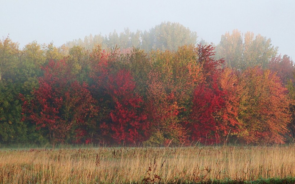
Photo: Missisquoi River Delta wetland margin entering Missisquoi Bay in Swanton, VT (USFWS / Public Domain).
📍 Louie’s Landing / Missisquoi Bay F&W Access, Swanton (GPS: 44.9742, -73.1519)
2. Lamoille River Mouth & Sandbar Causeway (Milton / Colchester)
Few accessible spots in northern Vermont concentrate active spring and midsummer catfish faster than the corridor where the Lamoille River meets Lake Champlain right beside the historic Sandbar Causeway on Route 2. Cold spring runoff drops sandbars along the outside mouth at 10 to 24 feet, while south winds stack warm surface forage tightly against the riprap causeway cuts connecting Milton to South Hero.
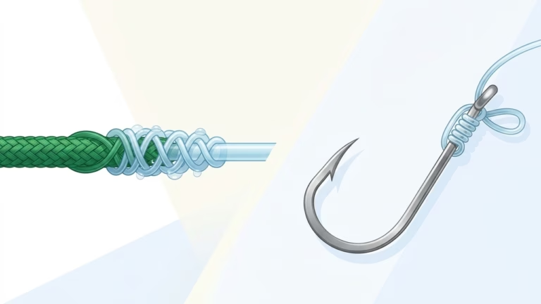
Wading and bank anglers catch steady channel cats at dusk directly along the boulder shoreline without needing a heavy boat—just cast a tough abrasion-resistant leader above submerged rock fissures and pair it with high-strength connections dialed via our Fishing Knot Strength & Line Matcher Tool. Boat crews drifting the outside sandbar drop-off routinely intercept 10- to 18-pound channels feeding on emerald shiners.
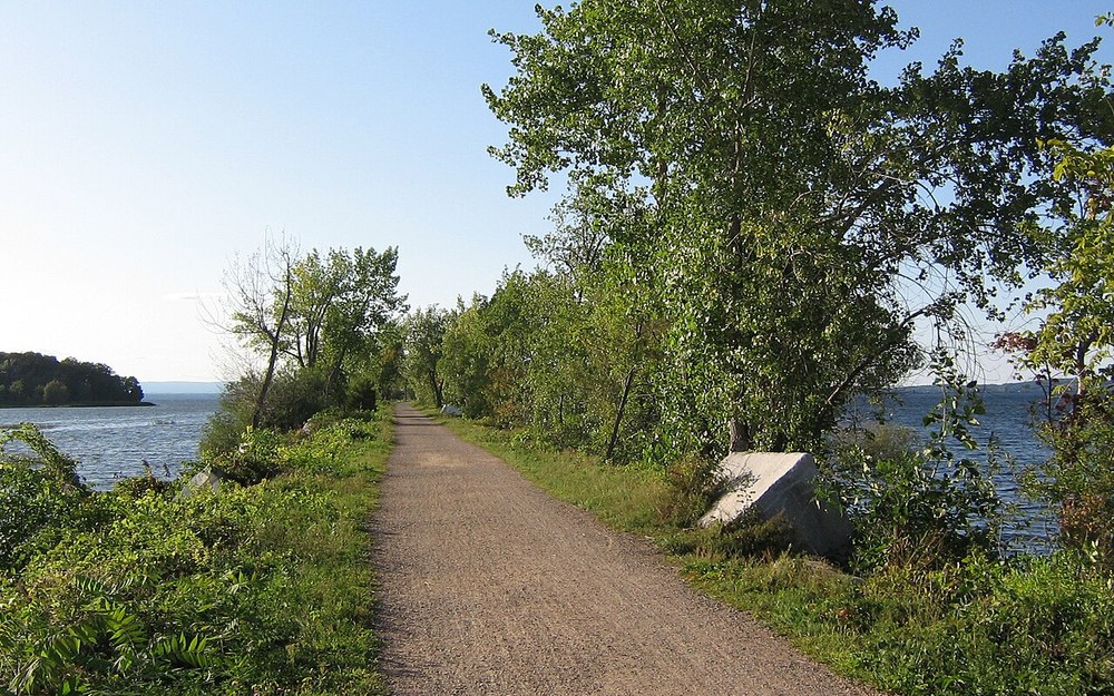
Photo: Lake Champlain stone causeway & current gap linking outer reefs near Milton and Colchester, VT (Wikimedia Commons / Public Domain).
📍 Sandbar State Park & Lamoille Mouth Ramp, Milton (GPS: 44.6272, -73.2356)
3. Lower Otter Creek — Vergennes Falls Basin to Fort Cassin Point (Addison County)
Vermont’s longest internal river feeds one of Lake Champlain’s cleanest bottom-fishing runs along the final 7.5 miles downstream of the falls dam in downtown Vergennes. Below the steep plunge pool at the Vergennes City Dock, deep clay bends carve 18 to 30 feet down past Dead Creek toward Fort Cassin Point, creating dark current eddies practically custom-built for daylight and night channel catfish.
When heavy spring rains turn Otter Creek chocolate brown, we anchor upstream of outside clay bends where sunken shoreline hardwoods break current velocity and lob bloody cut bait straight into the slack seam. Verify proper braided mainline backing before testing heavy Otter Creek drags inside our Fishing Reel Line Capacity & Backing Calculator.
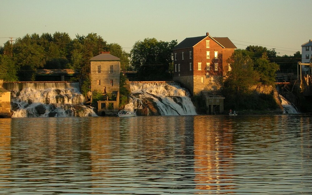
Photo: Otter Creek Falls pouring directly into the deep navigable Vergennes turning basin, VT (Wikimedia Commons / Public Domain).
📍 Vergennes Basin City Dock & Otter Creek Access (GPS: 44.1704, -73.2552)
4. Lower Winooski River — Salmon Hole to Colchester Point Delta (Chittenden County)
Just minutes north of downtown Burlington, the Lower Winooski River tumbles over the Winooski One Hydro Dam at Salmon Hole before winding through sandy oxbows into Lake Champlain beside Colchester Point. While shore anglers flock here in May for walleye, summer evening anglers anchoring the lower two-mile delta edge (8 to 22 feet) quietly intercept big roving channel cats and abundant brown bullheads.
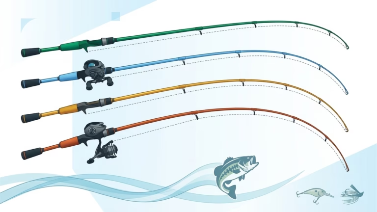
Turbine releases alter downriver drift speed rapidly below Heineberg Bridge, so keep both 1.5 oz bank leads for low summer flows and 4 oz no-roll weights on standby when evening generation surges. Match rod action to heavy sinker weights easily with our Fishing Rod Power & Action Matcher Quiz.
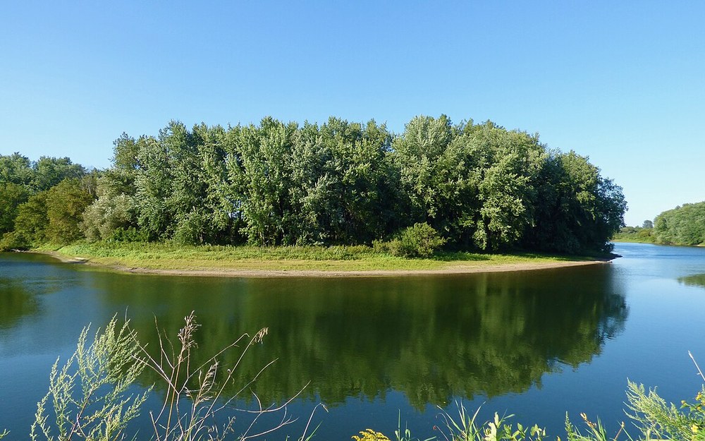
Photo: Lower Winooski River island channel & deep sandbar meander above Lake Champlain, VT (Wikimedia Commons / CC BY-SA 4.0).
📍 Colchester Point & Lower Winooski River Access (GPS: 44.5364, -73.2758)
5. Connecticut River — Vernon Dam Tailrace & Brattleboro Setbacks (Windham County)
Vermont’s eastern border along the Connecticut River offers a totally distinct warmwater fishery anchored around shallow vegetated setbacks near Brattleboro and deep turbine scour trenches below Vernon Hydro Dam. Thick populations of plump brown bullhead (“horned pout”) plus stray transplanted white and channel catfish thrive in the muddy oxbow setbacks where West River dumps into the main stem.
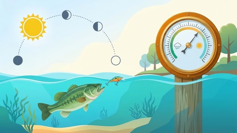
Remember that Connecticut River boundary waters follow special joint Vermont/New Hampshire regulations (holding a 25-fish daily limit on bullhead/horned pout). Target twilight hours along calm cove mouths using dual-dropper nightcrawler rigs right after tracking barometer shifts with our Solunar Fishing Bite Times & Barometric Pressure Forecaster.
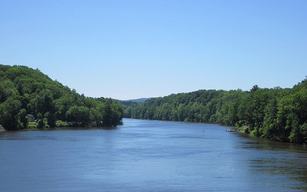
Photo: Connecticut River main pool above Vernon Hydro Dam near Brattleboro, VT (Wikimedia Commons / CC BY-SA 4.0).
📍 Fort Dummer / Brattleboro Connecticut River Ramp (GPS: 42.8482, -72.5566)
6. Connecticut River — Bellows Falls Pool & Herricks Cove (Rockingham)
Stretching immediately upriver of the Bellows Falls dam complex, Herricks Cove forms a classic shallow, muddy setback backed by flooded stumps and lily-pad edges that ignite every May once shallow water warms into the low 60s°F. Both bank anglers casting from the causeway pullouts and kayaks slipping out of Herricks Cove launch stack limits of eating-size horned pout at dusk while deeper channel drops near the railway embankments turn up larger river catfish.
Stick with simple 1 to 1.5 oz sliding egg sinkers and 2/0 wide-gap Kahle hooks dressed with double redworms or nightcrawlers to prevent deep throat-hooking on active evening bullheads.
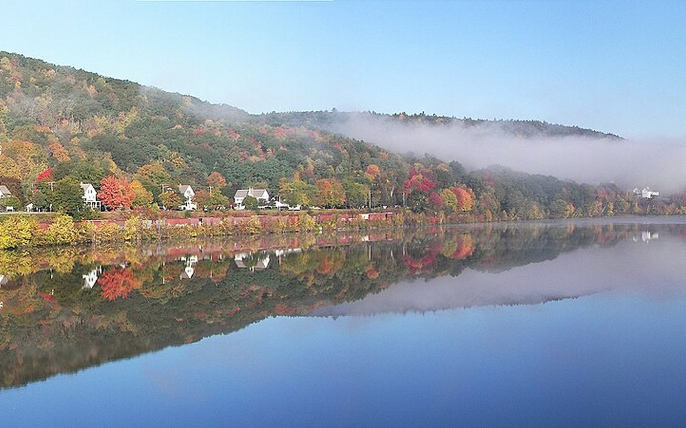
Photo: Connecticut River calm morning eddy corridor along the Bellows Falls reach in Rockingham, VT (Wikimedia Commons / CC BY-SA 3.0).
📍 Herricks Cove / Bellows Falls Pool Launch, Rockingham (GPS: 43.1678, -72.4485)
7. Southern Lake Champlain — Chimney Point Narrows & Benson Landing
South of the iconic Lake Champlain Bridge between Chimney Point, Vermont, and Crown Point, New York, the lake narrows dramatically into a murky, fertile riverine channel stained year-round by clay sediment. Currents push surprisingly briskly underneath the bridge pilings and down along McCuen Slang, East Creek, and Benson Landing, concentrating nutrient-rich forage and large schools of channel catfish between 10 and 28 feet.
Bank fishermen score consistently around the Chimney Point riprap wing shoreline, while small aluminum skiffs working Benson Landing have sheltered water even when whitecaps blow across the broad central lake.
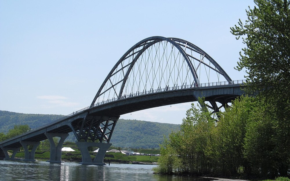
Photo: Lake Champlain Bridge narrow current funnel connecting southern Lake Champlain clay flats in Addison, VT (Wikimedia Commons / CC BY-SA 2.0).
📍 Chimney Point / Crown Point Bridge Access, Addison (GPS: 44.0319, -73.4214)
8. Lake Bomoseen & Taconic Lake Corridor (Rutland County)
While sprawling Lake Champlain leads Vermont in pure catfish biomass, Rutland County’s Taconic lakes actually hold the Green Mountain State’s biggest trophy pedigree—nearby Lake St. Catherine still owns the official 35 lb 14.7 oz Vermont state-record Channel Catfish caught in June 2012, and neighboring Hubbardton Pond produced the 3 lb 6 oz state-record Bullhead. Right beside both waters lies Lake Bomoseen in Castleton, Vermont’s largest inland lake wholly within state borders.
Focus night trips around the stone Float Bridge narrows and shallow marsh coves off Route 30 near Lake Bomoseen State Park, keeping an eye on Vermont’s 50-panfish inland daily aggregate limit if boxing bullheads for a skillet fry.
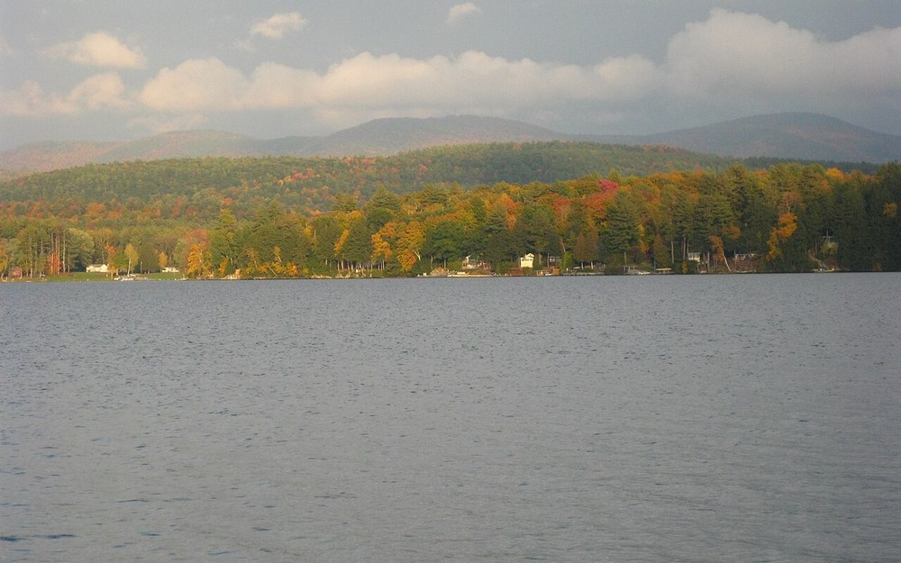
Photo: Lake Bomoseen open weed-edge flats & Green Mountain backdrop in Castleton, VT (Wikimedia Commons / CC BY-SA 4.0).
📍 Lake Bomoseen Float Bridge F&W Ramp, Castleton (GPS: 43.6542, -73.2238)
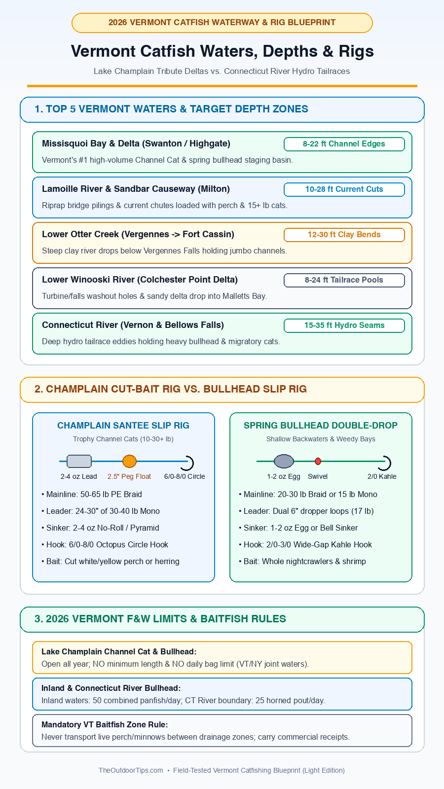
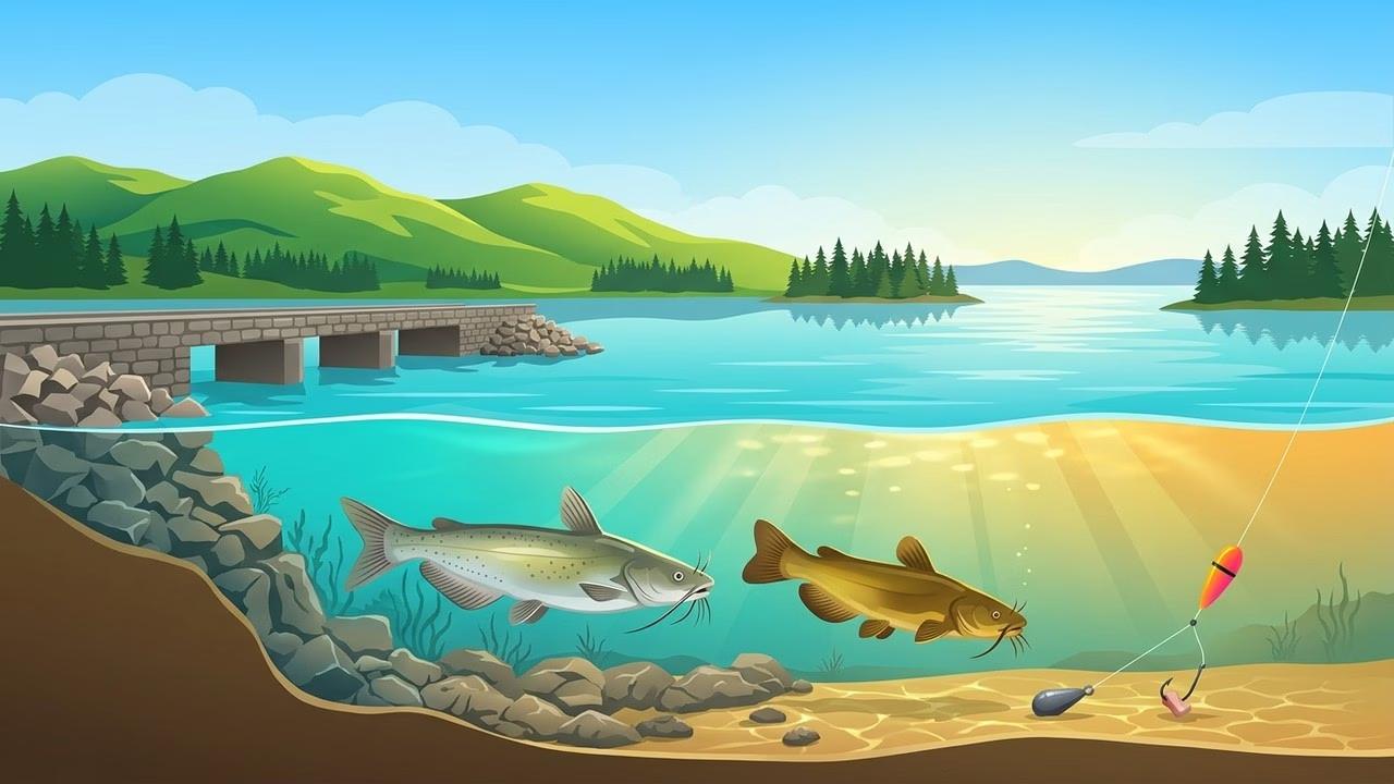
Field-tested Vermont rigging & regulation blueprint comparing Lake Champlain Santee slip rigs vs. spring bullhead double-drop setups.
Recommended Vermont Catfish Tackle & Rig Loadout
Vermont catfishing covers two distinct weight classes: sturdy 7′6″–8′0″ medium-heavy sticks built to heave 3–4 oz leads past windy Champlain causeways for 20-pound channels, and responsive medium rods for light bullhead setups in quiet Connecticut River setbacks.
| Gear Component | Recommended Model | Exact Spec (Power / Ratio / LB) | Why It Works Here | Check Live Price |
|---|---|---|---|---|
| All-Around Champlain Rod | Ugly Stik Catfish Special | 7′6″–8′0″ MH / Fast-Mod | Survives gravel bank transport on Sandbar Causeway while loading smooth circle hookups. | |
| High-Sensitivity Drift Rod | St. Croix Mojo Cat | 7′6″ Medium-Heavy / Fast (15–40 lb) | Detects subtle cold-water May bites in Missisquoi Bay before dropping rod tips. | |
| Causeway Casting Reel | Abu Garcia Ambassadeur C3 6500 | 5.3:1 Ratio | 255 yd / 17 lb | Bait Clicker | Loud mechanical clicker signals Otter Creek current pickups cleanly across spread boat rods. | |
| Long-Cast Spinning Reel | Penn Battle IV 5000 | 5.6:1 Ratio | CNC Gear | 25 lb HT-100 Drag | Bombs cut perch far past shallow Champlain riprap ledges without backlash risk in strong wind. | |
| Rock-Proof Mainline | PowerPro / Sufix 832 PE Braid | 50–65 lb Braid + 30–40 lb Mono Leader | Zero stretch cuts through wind bow on Missisquoi Bay while mono handles zebra-mussel abrasion. | |
| Circle Hooks & No-Roll Leads | Gamakatsu Octopus Circle + No-Roll | 6/0–8/0 Circle Hooks + 2–4 oz No-Roll Lead | Corners trophy channel jaws cleanly while flat leads resist sliding on sandbar current slopes. |
Hands-On Lake Champlain Rigging & Bank-Fishing Strategy
Along rock causeways like Sandbar and Chimney Point where invasive zebra mussels coat nearly every boulder below waterline, running straight braid to the hook invites instant slice-offs the second a heavy channel cat makes a sideways run. Instead, rig a 24-inch 40 lb monofilament Santee Cooper leader behind a heavy barrel swivel, add a 2.5-inch peg float three inches ahead of a 6/0 or 7/0 octopus circle hook, and bait up with freshly sliced white perch or lake herring fillets. Compare bank-ready rod blanks inside our best bank catfishing rods test, full catfish rod comparison, and Ugly Stik Catfish review, or check scent layering inside our catfish scent attraction guide. Planning a New England road trip? Compare nearby waters inside our Maine catfishing guide and Arkansas catfishing guide.
2026 Vermont Fish & Wildlife Catfish Rules & Baitfish Zones
- Lake Champlain Open Season & Unlimited Creel: On all Vermont and joint New York waters of Lake Champlain (including lower tributary pools of Missisquoi, Lamoille, Winooski, and Otter Creek below the first dam/falls), Channel Catfish and Brown Bullhead have no closed season, no minimum length, and no daily bag limit.
- Inland Lakes & Connecticut River Limits: Inland ponds and lakes group Brown Bullhead under Vermont’s 50-panfish daily aggregate bag limit (Channel Catfish have no creel limit). On the Connecticut River joint border water with New Hampshire, Bullhead (Horned Pout) carry a 25-fish daily limit inside a 50-panfish aggregate limit.
- Strict Vermont Baitfish Zone Compliance: Vermont strictly regulates live and uncertified dead wild baitfish transport across watershed zone boundaries to stop aquatic invasives like VHS and round goby—always buy locally sourced certified bait or harvest white/yellow perch strictly on-site within the same body of water where permitted.
✅ Final Captain’s Verdict: Locking In Double-Digit Vermont Cats
1. Anchor the Northern Tributaries in May: Drop cut white perch along 10–22 ft mud-channel lips in Missisquoi Bay or below Vergennes Falls on Otter Creek when spring water crosses 58°F.
2. Target Dusk Causeways in Summer: Set 40 lb abrasion leaders along Sandbar Causeway and Chimney Point rock riprap to wrench 15+ lb summer channel cats safely out of zebra-mussel boulders.
Frequently Asked Questions About Catfishing in Vermont
Are there channel catfish in Lake Champlain in Vermont?
Yes—Lake Champlain holds a booming wild population of large channel catfish alongside native brown bullhead, particularly around Missisquoi Bay, the Lamoille River mouth, Lower Otter Creek below Vergennes Falls, and the Chimney Point narrows.
What is the daily creel and size limit for catfish in Vermont in 2026?
In Lake Champlain, both channel catfish and brown bullhead are open year-round with no minimum size limit and no daily bag limit. Inland Vermont waters group bullhead into a 50-panfish combined daily limit, while the Connecticut River sets a 25-fish daily limit for horned pout (bullhead).
What is the Vermont state record for catfish and bullhead?
Vermont’s official state-record Channel Catfish weighed 35 pounds, 14.7 ounces (caught in Lake St. Catherine in June 2012), while the state-record Bullhead weighed 3 pounds, 6 ounces (caught in Hubbardton Pond in 1976).
Can bank anglers catch Lake Champlain catfish without a boat?
Yes. Shoreline anglers consistently pull heavy channel cats right off the rock riprap along the Sandbar Causeway on US-2, from the concrete wall and banks below Vergennes City Dock on Otter Creek, and near the Chimney Point Bridge wing shoreline.